 Tobin
Explore
Jump in anywhere, in any order. Every activity reshuffles each time you play, so there's always something new. You earn miles for every right answer.
Big questions to wonder about
By the end of this unit, you'll be able to answer every one of these.
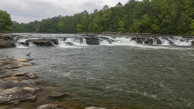
Columbus, Macon and Augusta sit almost in a line across the middle of Georgia. Why there?Illustration (AI-generated)
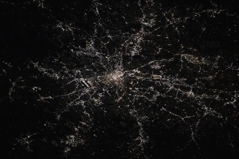
Atlanta is not on the ocean or on a river ships can sail. So how did it grow so big?Photo: NASA
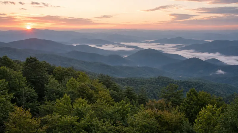
Why can north Georgia get snow some winters while the coast almost never does?Illustration (AI-generated)
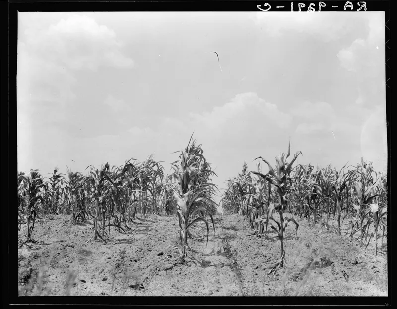
Why would a dry summer in south Georgia show up in the state's job numbers?Photo: Library of Congress
Word Wall
The 14 words you'll own by the end of this unit. Tap any card to flip it. Words you collect in the activities get a ✓.
Unit Roadmap
Four parts, in the order we'll learn them.
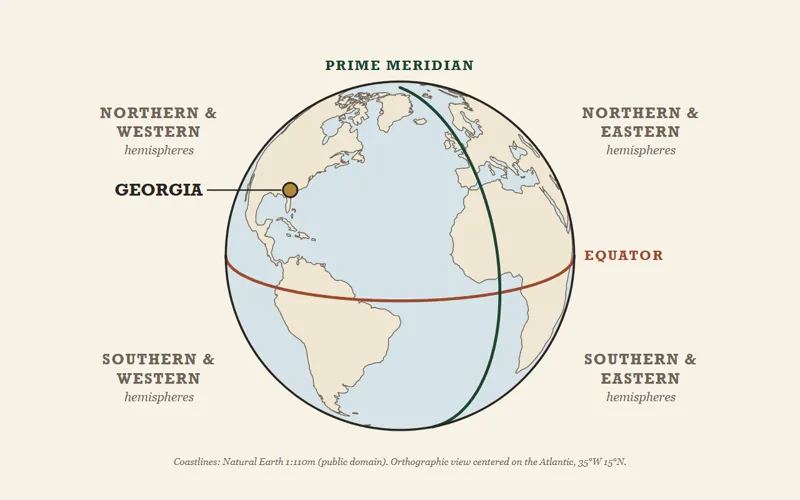
Part 1: Where Georgia Is in the World
- Four ways to locate a place
- The equator, the prime meridian, and the four hemispheres
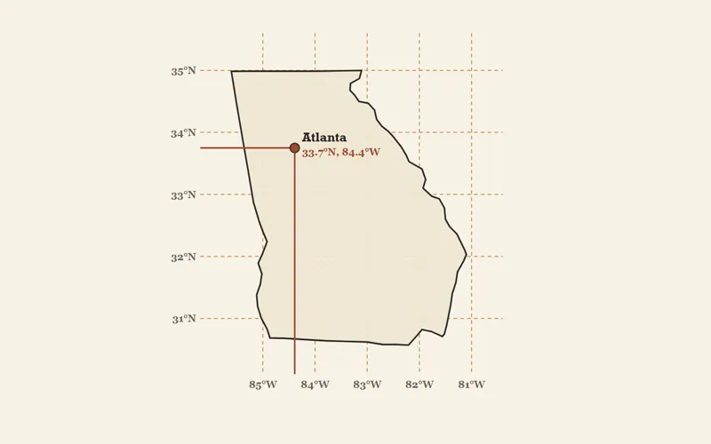
- Latitude and longitude
- Georgia by the numbers: size, neighbors, coastline
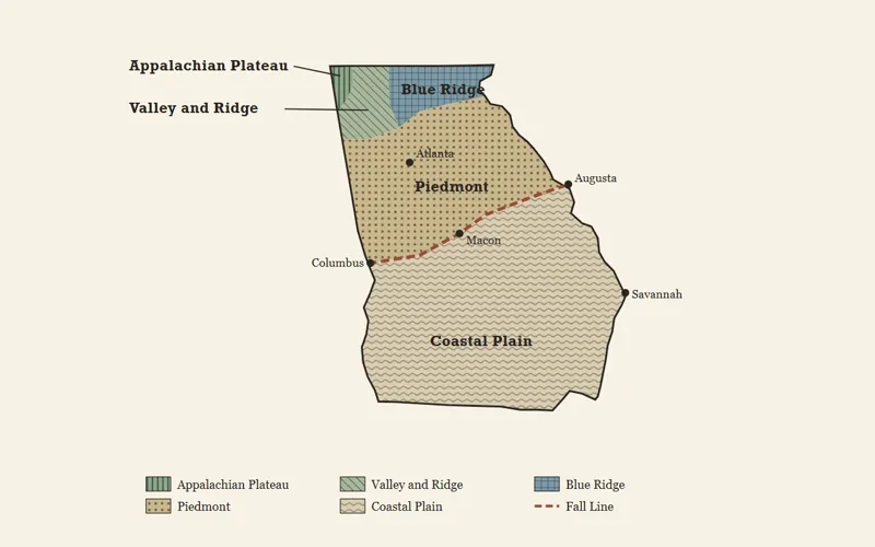
Part 2: The Five Regions of Georgia
- What makes a region
- The five regions, from the mountains to the coast
- Climate, crops, and work in each region
- Why regions explain history
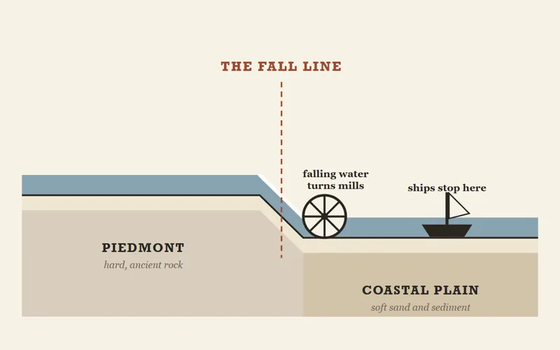
Part 3: Physical Features and the Fall Line
- The Fall Line and the head of navigation
- Columbus, Macon, and Augusta
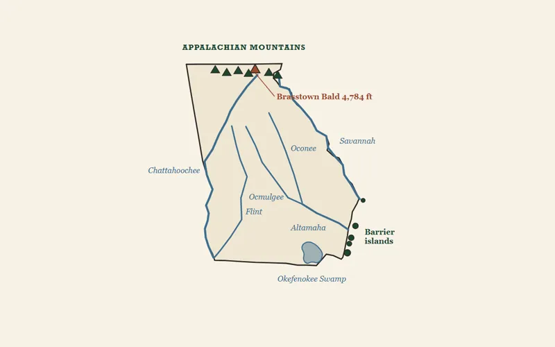
- Appalachian Mountains and Brasstown Bald
- Okefenokee Swamp, the two big rivers, barrier islands
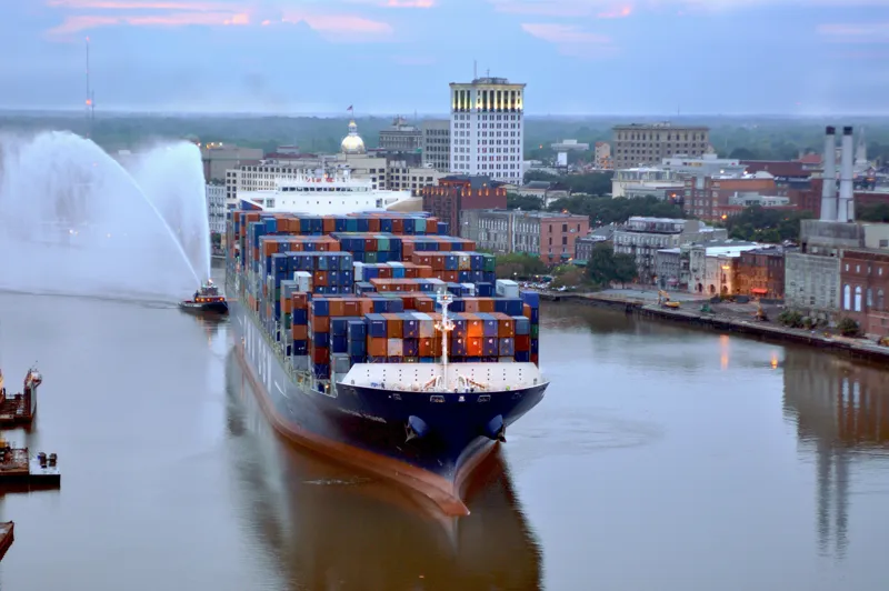 Photo: U.S. Army Corps of Engineers
Part 4: Water and Georgia's Growth
- Rivers that set the borders
- Ports at Savannah and Brunswick
- Atlanta: the railroad city
- Water, farms, drought, and jobs
Learning Targets & Success Criteria
I am learning to…
- Locate Georgia by its hemispheres, continent, country, and region
- Distinguish among Georgia's five geographic regions by location, climate, agriculture, and economy
- Locate Georgia's key physical features and explain why each one matters
- Analyze how water shaped Georgia's history and still drives its economy
I will be successful when I can…
- Name Georgia's two hemispheres, its continent, country, and region, and explain how I know each one
- Use latitude and longitude to find a place and decide whether a point is inside Georgia
- Identify the five regions on a map and describe each one's land, climate, crops, and work
- Locate the Fall Line, the Okefenokee Swamp, the Appalachian Mountains, the Chattahoochee and Savannah Rivers, and the barrier islands
- Explain why Columbus, Macon, and Augusta grew on the Fall Line
- Explain how rivers and ports shaped Georgia's borders, cities, and jobs, and why a drought is an economic event
Standards
Describe Georgia's geography and climate.
Locate Georgia in relation to region, nation, continent, and hemispheres.
Distinguish among the five geographic regions of Georgia in terms of location, climate, agriculture, and economic contribution.
Locate key physical features of Georgia and explain their importance; include the Fall Line, Okefenokee Swamp, Appalachian Mountains, Chattahoochee and Savannah Rivers, and barrier islands.
Analyze the importance of water in Georgia's historical development and economic growth.
Keep going
Free tools for Georgia Geography that go deeper.
Maps, diagrams and globes on this page were drawn for this course from real coordinates (coastlines: Natural Earth, public domain). Pictures marked “Illustration (AI-generated)” were generated from written descriptions. They show places, not any real person, and are not photographs of a real location. Photographs are public domain and credited on the picture.